Cool
Average highs are around 15°C, so pack for cooler days.
Weather Guide
Best months: August, June, July
Across the year, average daytime temperatures are around 20°C, sunshine averages 6.8h per day, and rainfall totals about 1111mm.
Annual averages
Temp
20°C
Rain
1111mm
Annual total
Sun
6.8h
Weather score
50
Mixed avg
Cool
Average highs are around 15°C, so pack for cooler days.
Showers
Rainfall averages 88mm, so some wet days are possible.
Some sun
Sunshine averages 5h per day, enough for a balanced month.
Map
Compare Charlottesville, Virginia, United States with nearby places by weather score, rain, sun, temperature, and swim conditions.
November15°C average high
November is on the cooler side of Charlottesville's year, useful if you prefer less intense daytime heat.
Warmest monthsJune to September
This stretch sets the upper range for average daytime heat.
November88mm average rain
November sits near Charlottesville's yearly rainfall average, so rain is a normal planning factor rather than an outlier.
Driest monthsJanuary to April, June, and September to December
This is the drier part of the year, when outdoor plans usually need less weather flexibility.
November5 hours average sun
November is below Charlottesville's yearly sunshine average, so bright-day planning is less reliable than in peak months.
Brightest monthsMay to August
This stretch has the strongest sunshine in the monthly averages.
November31 weather score
November is one of the weakest weather-score months, when the overall mix is less favourable than the rest of the year.
Best weather monthsJune to September
These months have the strongest weather score in the monthly averages.
 The Draftsman, Charlottesville, University, Autograph Collection HotelCharlottesville, Virginia, USA
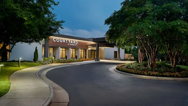 Courtyard CharlottesvilleCharlottesville, Virginia, USA
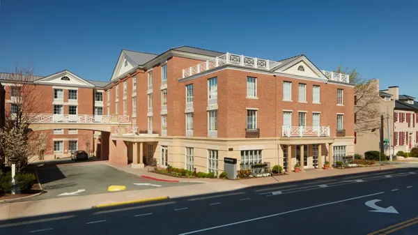 Courtyard Charlottesville - University Medical CenterCharlottesville, Virginia, USA
 Fairfield Inn & Suites Charlottesville Downtown/University AreaCharlottesville, Virginia, USA
 Fairfield Inn & Suites Charlottesville NorthCharlottesville, Virginia, USA
 Residence Inn Charlottesville DowntownCharlottesville, Virginia, USA